 |
 |
 |
|
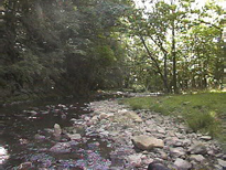
A picture of the Lower Cove Run at peak
summer water flow. |
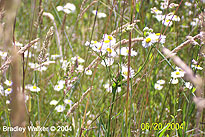
Wildflowers growing inside the proposed
basin of water for dam site #16. |
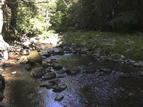
Another picture of the Lower Cove Run
which would be dammed up for recreation
purposes. |
| |
|
|
 |
 |
 |
|
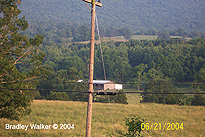
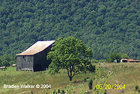
A barn that would be demolished by the
proposed dam site #16 wall & road. |
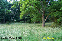
A field and forest inside the proposed
area of the lake that would be submerged
forever. |
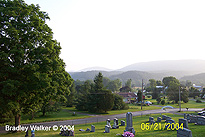
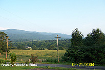
Facing south looking out over the entire
Lost River Valley from the Lower Cove
Road. |
| |
|
|
 |
 |
 |
|
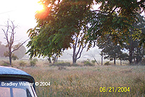
Watching a sunset on a quiet and
peaceful evening from the proposed dam
site #16. |
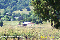
A barn that lays in the potential path
of a massive earthen wall for the
proposed Lower Cove Dam. |
Another view of the valley that would be
decimated and lost forever from proposed
construction. |
| |
|
|
 |
 |
 |
|
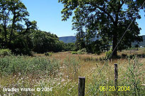
Facing west with the Lower Cove Run on
the left behind the trees. |
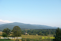
Looking out over the Lower Cove Run
valley with the George Washington
National Forest in the background. |
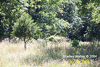
Secluded fields & tree's inside of the
proposed area of the Lower Cove Dam. |
| |
|
|
 |
 |
 |
|
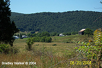
The proposed location of the dam wall
where an intersection road will be built
to connect both sides of the valley. |
A wider view of the proposed location of
the wall of the potential dam. |
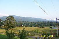
Another view of the proposed dam site
with the George Washington National
Forrest in the background. |
| |
|
|
 |
 |
 |
|
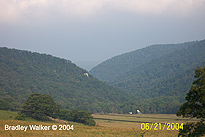
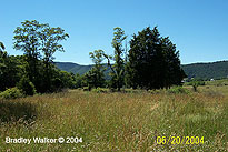
Looking at the Lower Cove Run valley
area that is the proposed location for
dam site #16. |
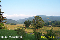
Facing
Lost City, WV looking from more secluded
and peaceful fields. |
A wider picture of the Lower Cove Run
valley area. All this land would
be lost to construction for dam site
#16. |
| |
|
|
 |
 |
 |
|
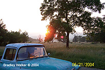
Watching a sunset from inside the
proposed 50+ acre area where a lake
would exsist. |
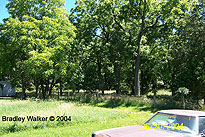
Beautiful scenery on a homeowners
property that would be forever lost
underwater. |
Facing northeast looking at homes that
would be submerged in the planned lake. |